


I Went on a 2 night 3 day backpacking trip to the Dolly Sods Wilderness Area with Ryan and Eric for a few days. I have never gone on a 2 night trip before and had read a lot of great things about the Dolly Sods so we decided to head down. For 2 weeks prior to the trip I did some research on the area. The main complaint from backpackers was unmarked trails and how easy it was to get lost. Bear encounters were next on the list followed by stream crossings. After reading a review on http://www.midatlanticshikes.com/ I decided to take the following route; Red Creek Trail to Breathed Mountain to Big Stonecoal to Dunkenbarger to Little Stone Coal back to Red Creek.
We parked at the Lanville Cabin the first day and started our journey. We missed a right turn on the first little creek crossing and had to do some bushwhacking but got right back on Red Creek Trail in 5 or 10 minutes. The first major stream crossing was easy because the water was low. Picking up the trail across the other bank was a breeze because of all the cairns marking it. From there we hiked up to the next set of campgrounds that are right along Red Creek. These sites are approximately 2.7 miles from the parking lot. We had one deer decide to make her way through our camp at dark and gave us a brief scare but that was the only eventful thing that happened.
We woke up at 7:30 am on Day #2 to cook breakfast and start our long trek to camp 2. All three of us were anxious to see how challenging the six miles would be. There was about an hour of gradual climbing to the junction of Breathed Mountain Trail. Then the first 10-15 minutes of Breathed Mountain was the steepest climb of the whole loop. After that, everything was level or downhill. At the top of the climb the scenery changes into a HUGE meadow for the next 2.5 miles. This was the best part of the trip, felt like we were in the West. We took a lunch break at the junction of Big Stonecoal Trail for 45 minutes. We then took Stonecoal Trail South to the next camp. We ended up grabbing the famed camp near the junction of Dunkenbarger Trail. It was underneath a ton of pine trees so the sleeping was soft and there was tons of wood to burn. We also took a side hike to the Lions Head Overlook which I would recommend to anyone hiking here. The views were awesome. (Side Note: You need to hike down Big Stonecoal Trail .5 miles to the junction of Rocky Point Trail. At the junction there are no markings except for cairns. Stay on the high side of the trail and do not go down the slope on Big Stonecoal. Make sure you stay on the main trail as you make your way across the ridge top because there were many side trails with cairn markings off of it that might get you confused. If you stay on the main trail you will see where the Lions Head is. You have to leave the trail and climb up rocks that look snake invested to get to the Lions Head so keep looking up as you are hiking to locate the lookout. It is about .5 miles from the junction of Big Stonecoal.) After taking in the views we went back to camp and had a relaxing night by the fire eating good food.
Day #3 started with the usual blueberry pancake breakfast. We cleaned up camp and headed back to the car. We took Dunkenbarger Trail to the junction of Little Stone Coal Trail. Dunkenbarger Trail was very rooty, rocky and muddy. Little Stone Coal Trail was 1.4 miles of complete downhill. The knees didn't feel that great when we got to the bottom. We descended 1,200 feet in that 1.4 miles, I wouldn't recommend hiking up it unless I had too. We got down to Red Creek and had to cross the river again for the 2nd major ford of the trip. It was as easy as the first and locating the trail on the opposite bank was not hard because of the cairns. When we got back to the car the total mileage of the loop was 14.5 miles side hike included. It was the longest hike I have done and would do it again in a heartbeat.
Final Thoughts: I was expecting this trip to be more difficult then it was. I did not think following the trails was hard at all. The footpath was very visible. The only time it got somewhat confusing was around camp spots because there would be paths leading down to them. The two spots I would look out for were the first little stream crossing on Red Creek Trail. Once you get across the stream stay right to keep on the main trail. If you go left you will weave in and out of a bunch of campsites. Eventually you will get back on the trail but we had to do some searching. The second spot was crossing Dunkenbarger Run. There was a footpath that went left but you want to stay right. Once you head up the trail 10 feet or so you will see a trail sign that leads you in the right direction.
At every trail junction on this loop there were very visible signage to lead you in the right direction. The only one that had nothing was Rocky Point Trail but I noted that above. I could see it being harder in the fall when the leaves drop. The stream crossings were easy but I could see this changing if there were high flows. The hardest part is watching where you step. The entire loop is extremely rocky. Your legs take a beating and stepping on the wrong rock could cost you. Expect blisters on your feet. The climbs on this loop are nothing extreme, I would say moderate. With that said I am still sore, 14.5 miles with a 40 pound pack will do that to you no matter where you hike. Overall the experience was amazing and I would definitely come back to do it again.
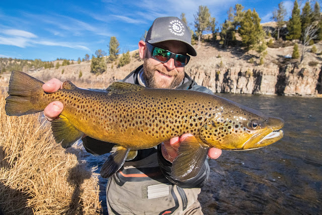
Fishing Note: Heard there are some native brook trout on Red Creek but saw nothing. I fished for 20 minutes one night and only caught chubs. Doesn't seem to hold many if any Trout.


No comments:
Post a Comment